
Rome’s north-western frontier
Hadrian’s Wall
A frontier of forts, milecastles and communities stretching across northern Britain.
- The Roman Army
- Forts and frontiers
- Archaeology and evidence
Before the Wall
From conquest to frontier
The Roman invasion of Britain began in AD 43, but gaining control of the north proved a long and difficult process. During the early AD 80s, the governor and general Agricola campaigned deep into what is now Scotland.
His forces defeated an alliance of northern peoples at the Battle of Mons Graupius, probably in AD 83 or 84. The Roman historian Tacitus described the campaign, but the location of the battle remains unknown and Agricola’s victory did not lead to the permanent conquest of Scotland.
By about AD 100, forts stretched across the narrow corridor between the River Tyne and the Solway Firth. They were linked by the Roman road now known as the Stanegate, creating an earlier frontier from which soldiers could monitor the surrounding country.
A boundary across Britain
Hadrian creates a new frontier
Hadrian became emperor in AD 117. He generally favoured consolidating and securing Rome’s enormous empire rather than expanding it still further. When he visited Britain in AD 122, he ordered the construction of a new frontier.
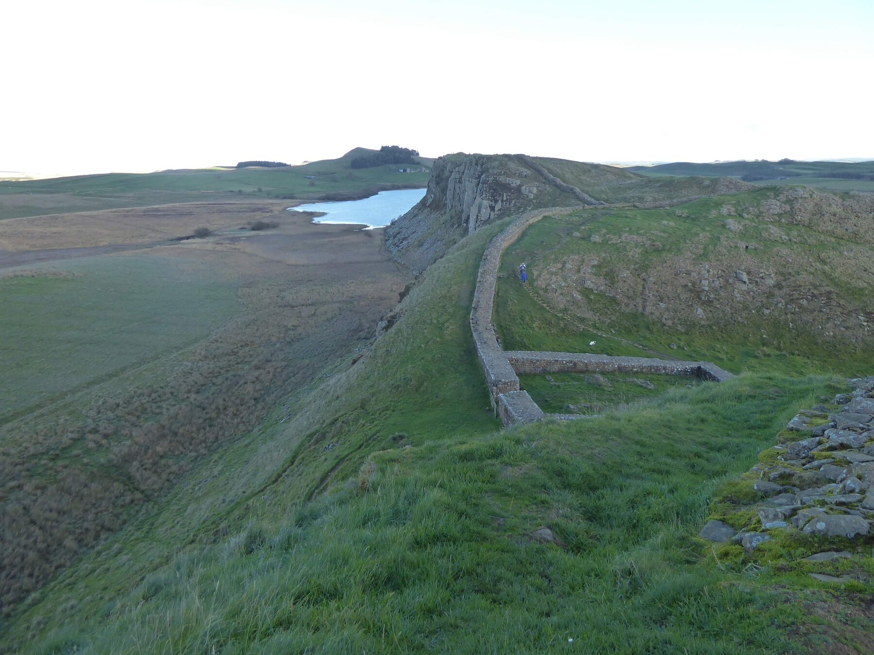
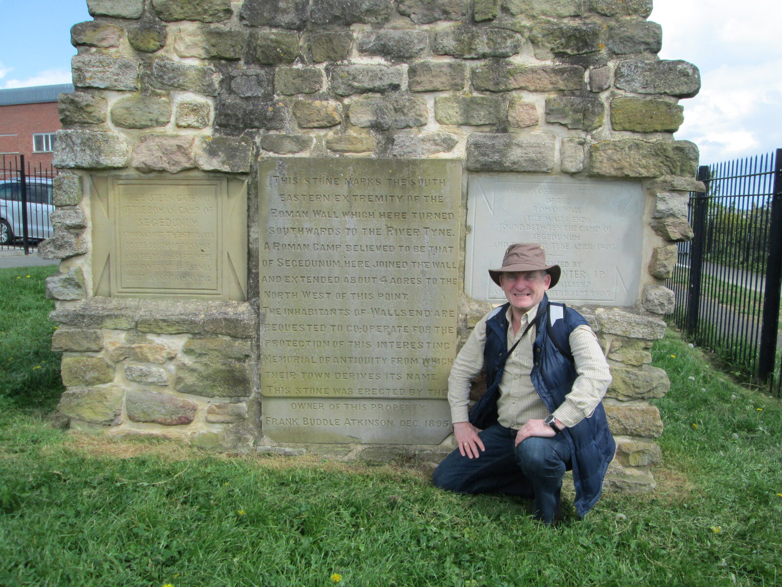
The Wall ran for 80 Roman miles—about 73 modern miles—from Wallsend on the River Tyne to Bowness-on-Solway. It discouraged raiding, displayed Roman power and channelled travellers and traders through guarded gateways.
It was not an impenetrable barrier. It was the central feature of a controlled military zone through which the army could supervise movement, collect information and respond to threats.
Roman engineering
Building the frontier
The main builders were soldiers from the three legions stationed in Britain: the Second Legion at Caerleon, the Sixth Legion at York and the Twentieth Legion at Chester. They included surveyors, engineers, masons and carpenters, assisted by auxiliary soldiers, the fleet and possibly local civilians.
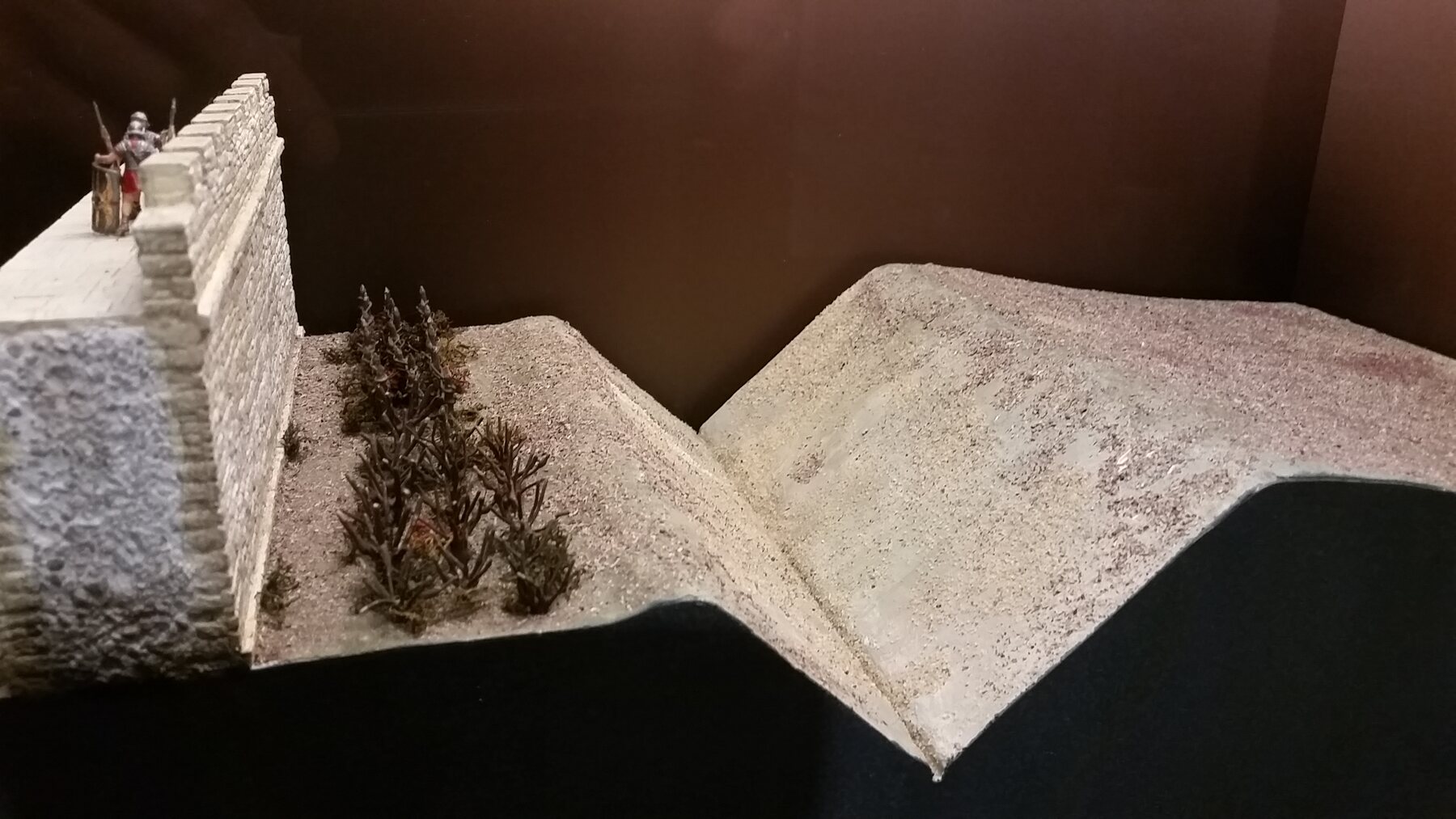
Most of the Wall was built in stone quarried close to its route. The western section was initially constructed from turf and was later largely rebuilt in stone. A broad ditch protected much of the northern approach.
South of the Wall was the Vallum: a great ditch between two banks. Its precise purpose remains debated, but it probably defined and protected the military zone behind the frontier and helped control access to it.
A connected military system
Forts, milecastles and turrets
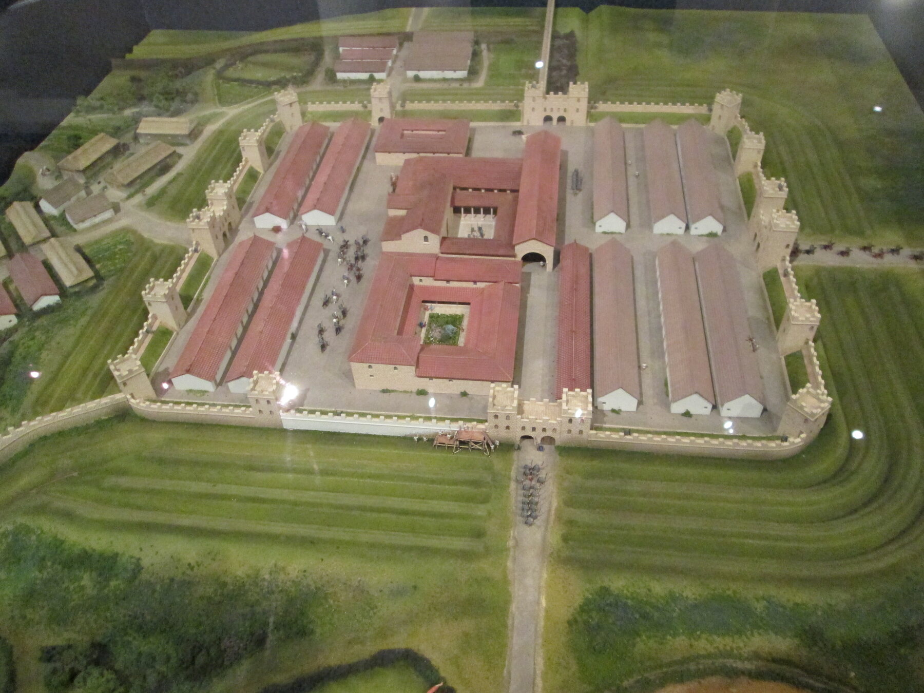
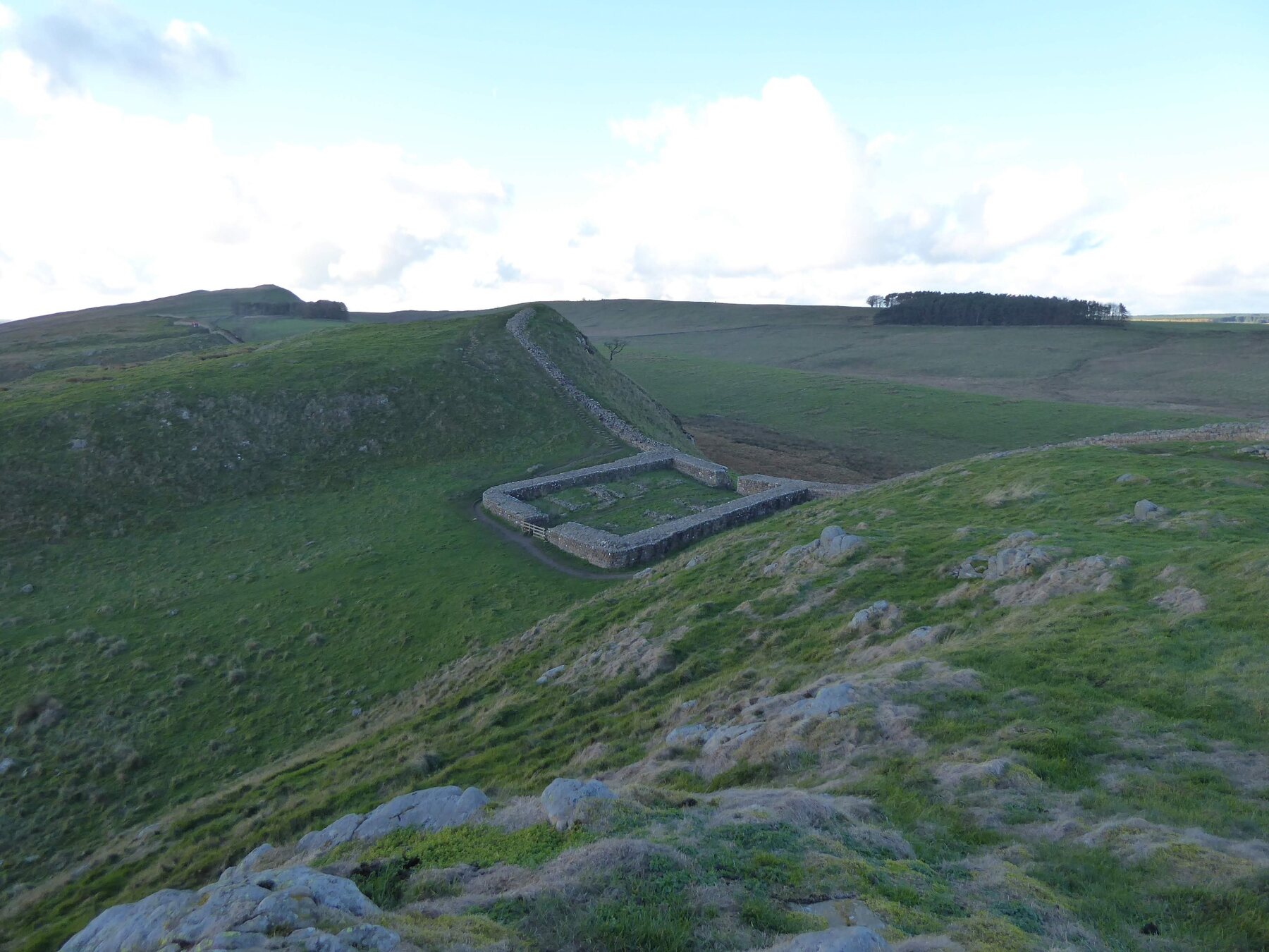
A small fortified gateway called a milecastle stood at approximately every Roman mile. Two observation towers, or turrets, were positioned between each pair of milecastles, creating a close chain of watch posts.
While construction was under way, the plan was changed and larger forts were added directly to the Wall. These housed auxiliary infantry, cavalry or mixed units recruited from many parts of the Roman Empire.
The frontier eventually included around 16 major forts, 80 milecastles and 156 turrets. Roads connected these installations with supply bases, settlements and the wider province.
Life on the frontier
Soldiers and civilians
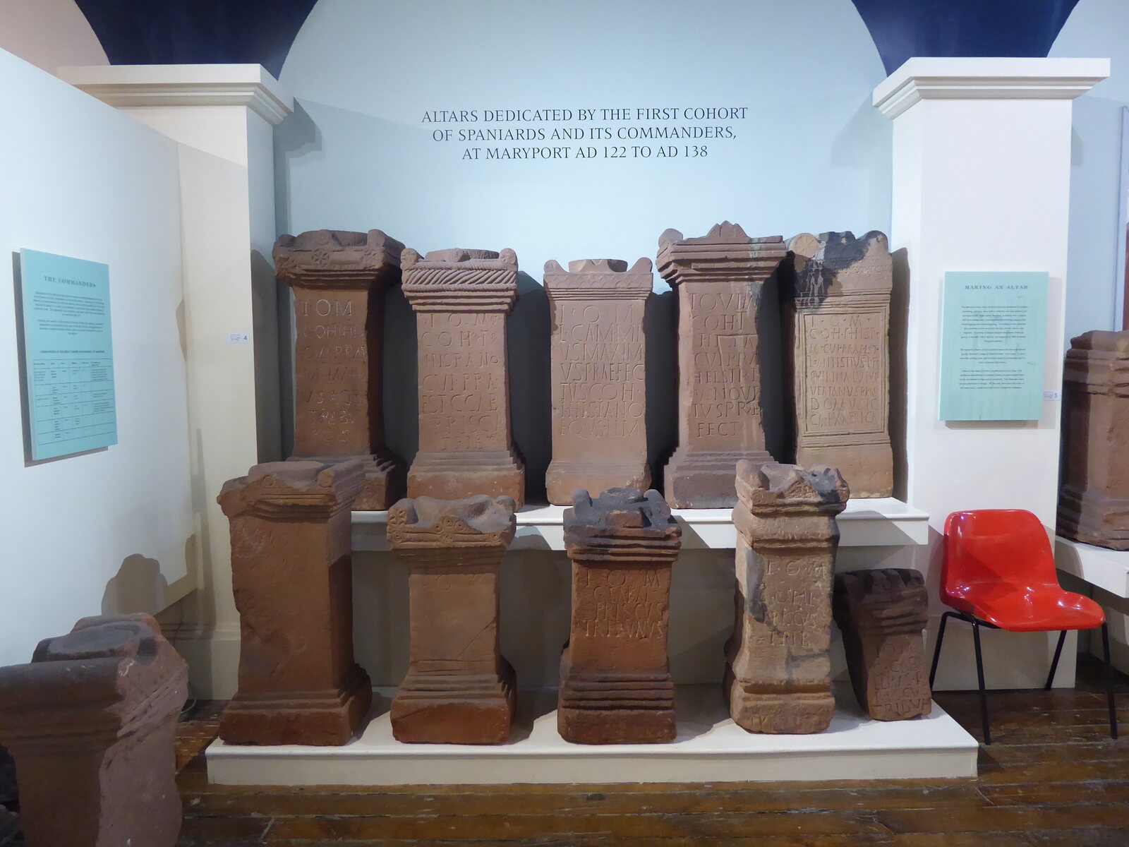
The legions built much of the Wall, but auxiliary regiments provided most of its garrison. These soldiers came from different regions of the Empire and brought varied languages, customs and religious beliefs to northern Britain.
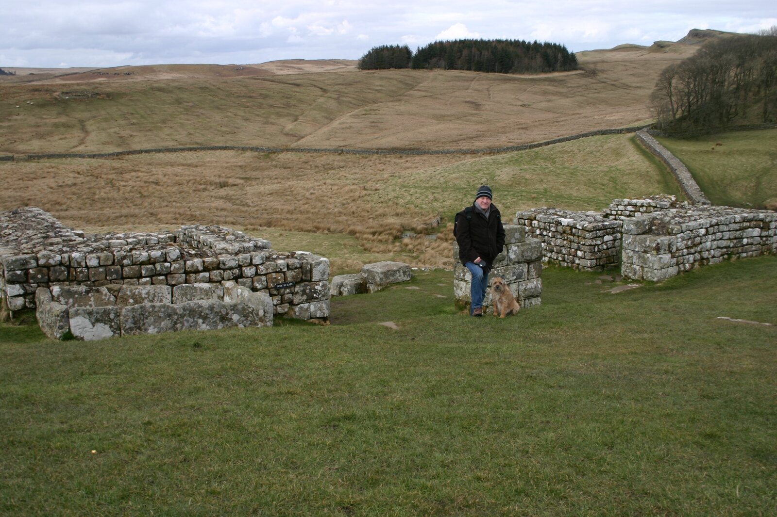
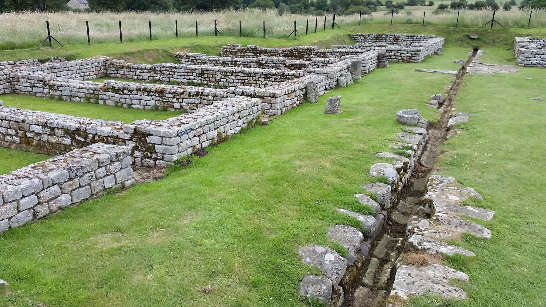
Forts contained barracks, headquarters buildings, workshops and granaries. Bathhouses offered warmth, washing and social contact. Outside the gates, civilian settlements developed where families, traders and craftspeople lived and worked.
The frontier was therefore not merely a line of stone. It was a chain of communities whose inhabitants farmed, traded, worshipped and raised families alongside the soldiers.
Evidence from the frontier
Objects, inscriptions and archaeology
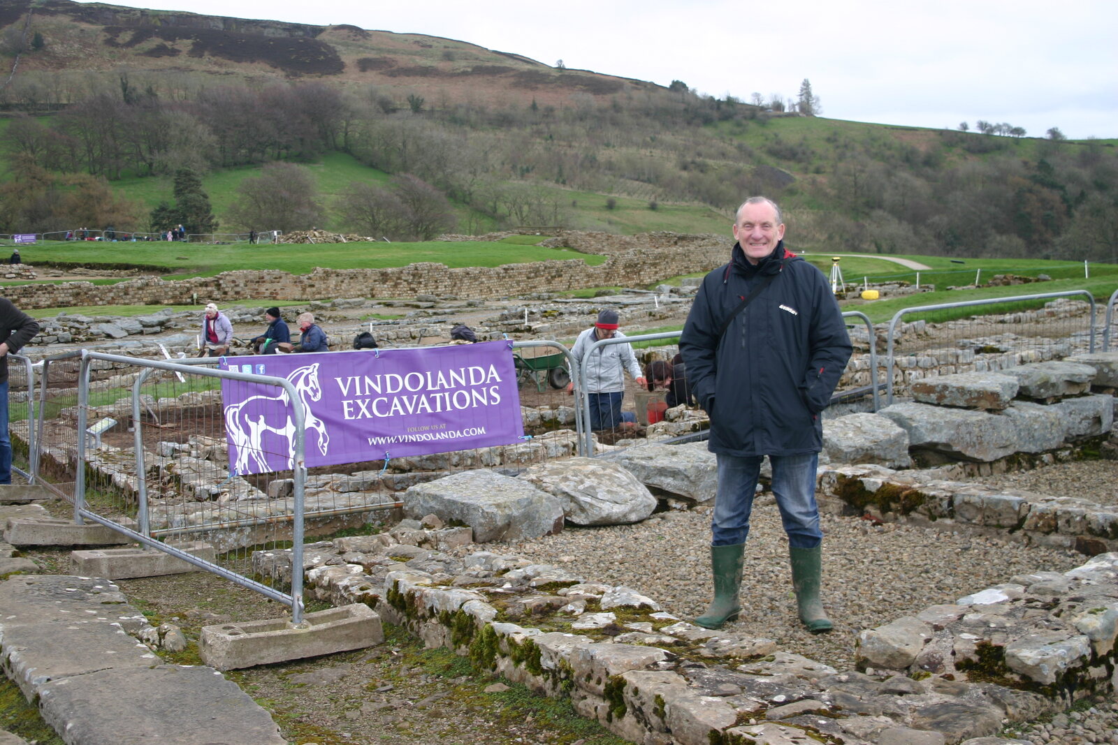
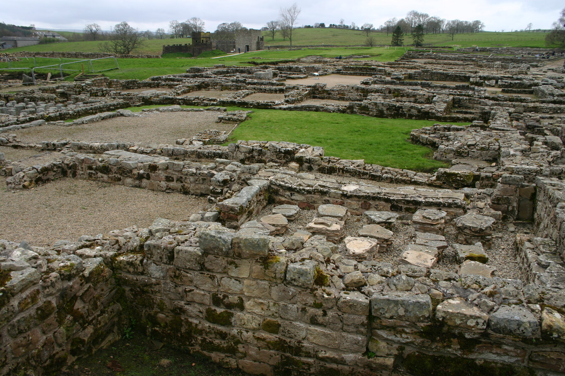
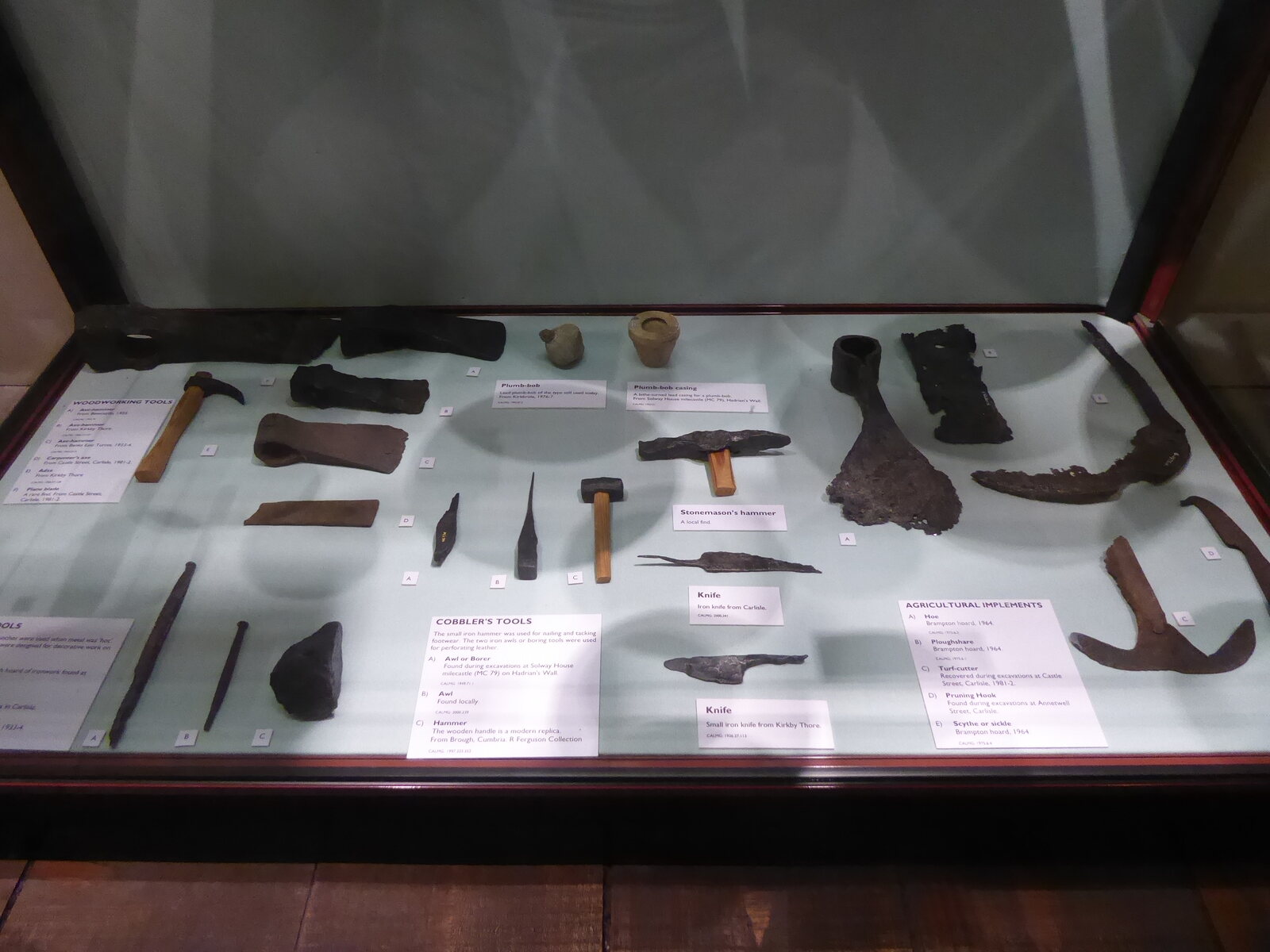
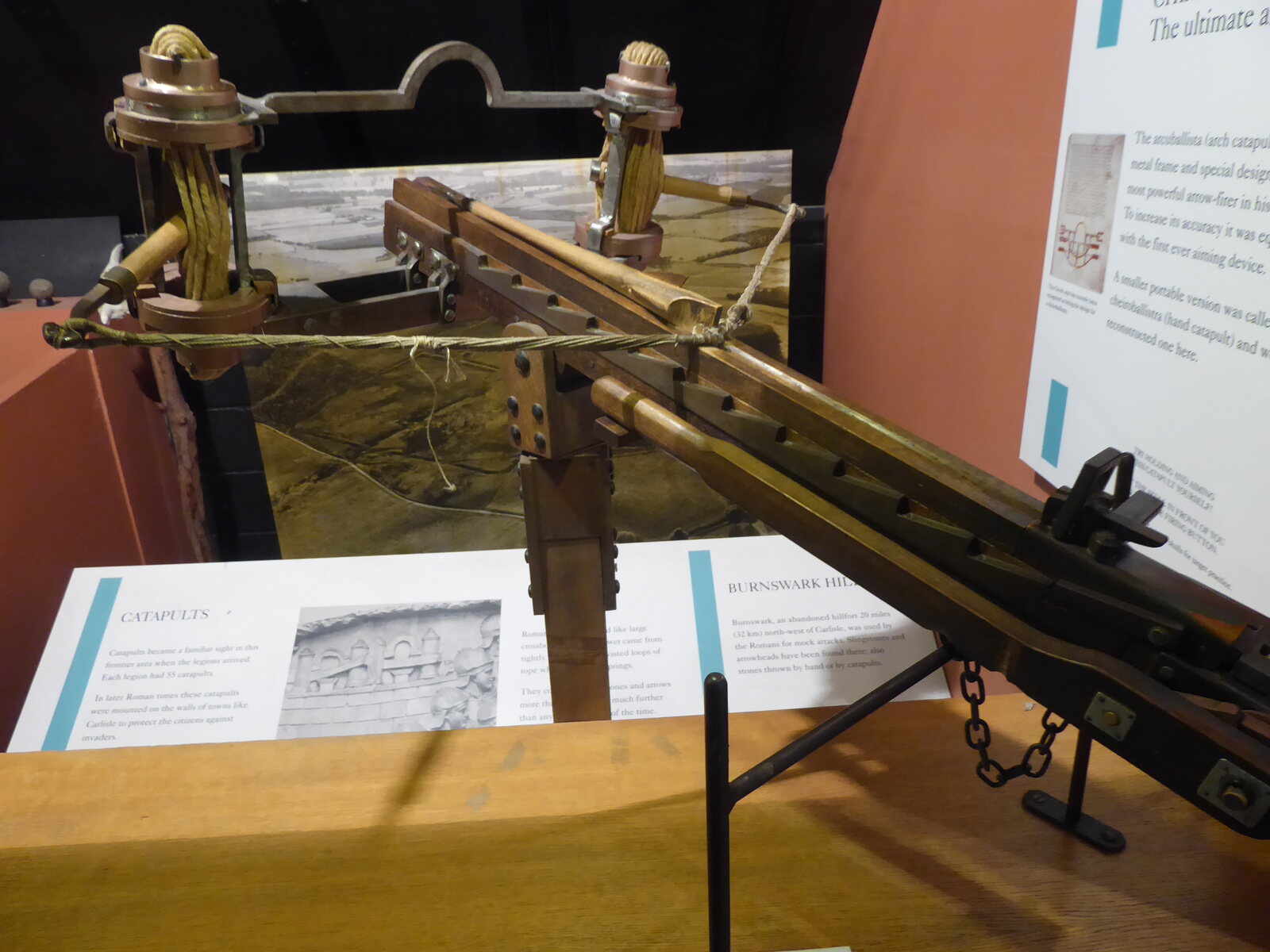
Archaeologists reconstruct life on Hadrian’s Wall by combining buildings and landscapes with inscriptions and everyday objects. Each discovery contributes another piece of evidence.
A frontier beneath our feet
Survival and rediscovery
Hadrian’s Wall remained an important frontier for nearly 300 years, although its buildings and garrisons changed considerably. Organised Roman rule in Britain ended during the early fifth century and the frontier system gradually ceased to function.
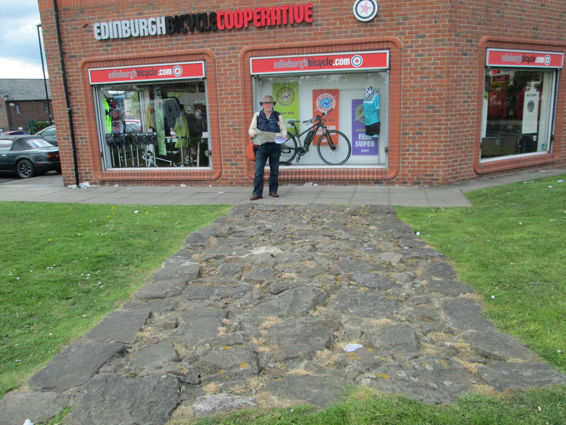
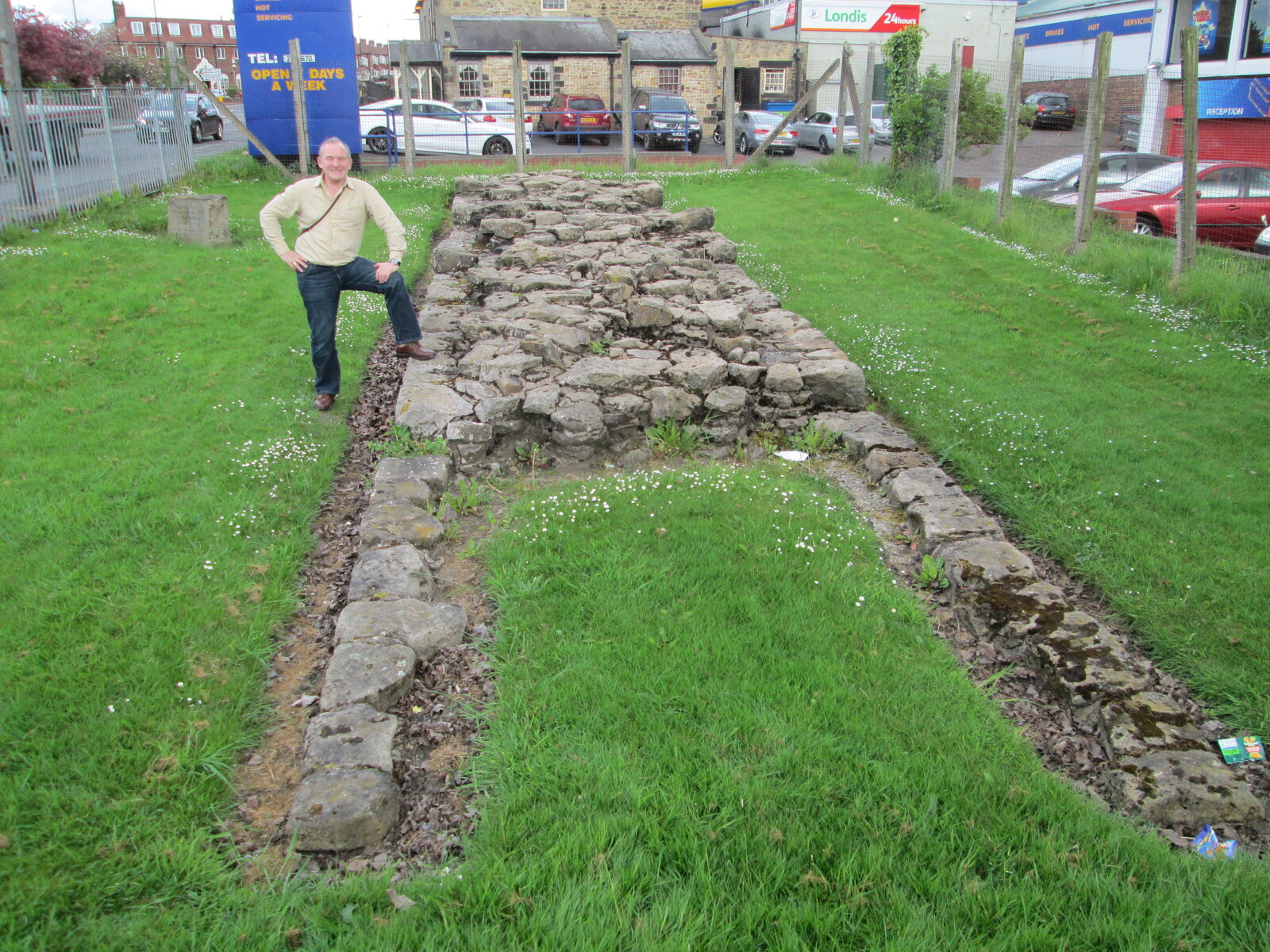
Over succeeding centuries, stone was removed for houses, churches, castles and field walls. Elsewhere the remains disappeared beneath roads, farms and modern towns. Archaeology has shown that important sections still survive in unexpected places, including central Newcastle.
Hadrian’s Wall became a World Heritage Site in 1987 and is now part of the international Frontiers of the Roman Empire World Heritage Site.
Exploring the landscape
Learning where history happened
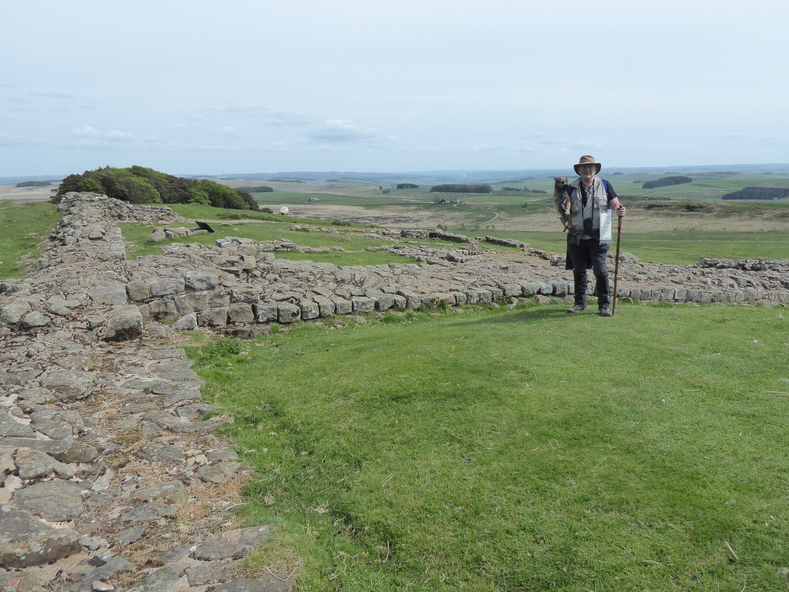
Walking beside the Wall gives a sense of distance, exposure and difficult terrain that cannot be gained from a plan or textbook alone. The central crags reveal how Roman surveyors used the natural landscape to create an imposing frontier.
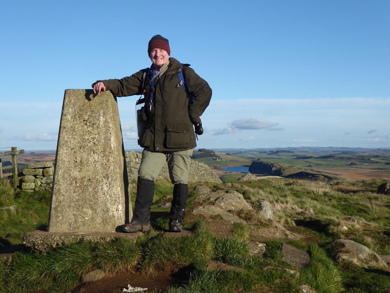
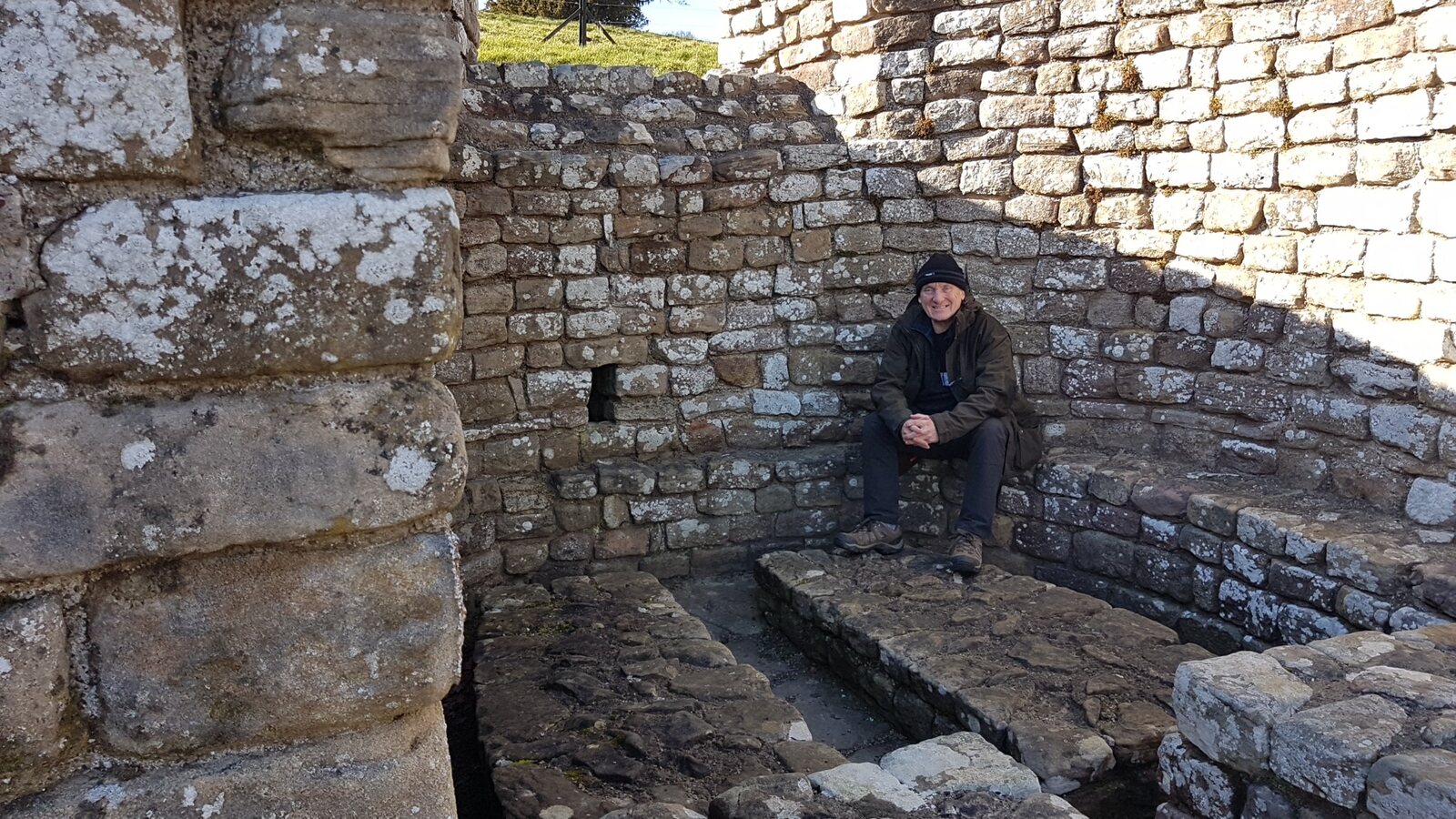
My visits to forts, museums and excavations have helped me understand how different forms of evidence fit together. The photographs and knowledge gathered during these visits also help me bring Roman Britain to life during my school workshops.
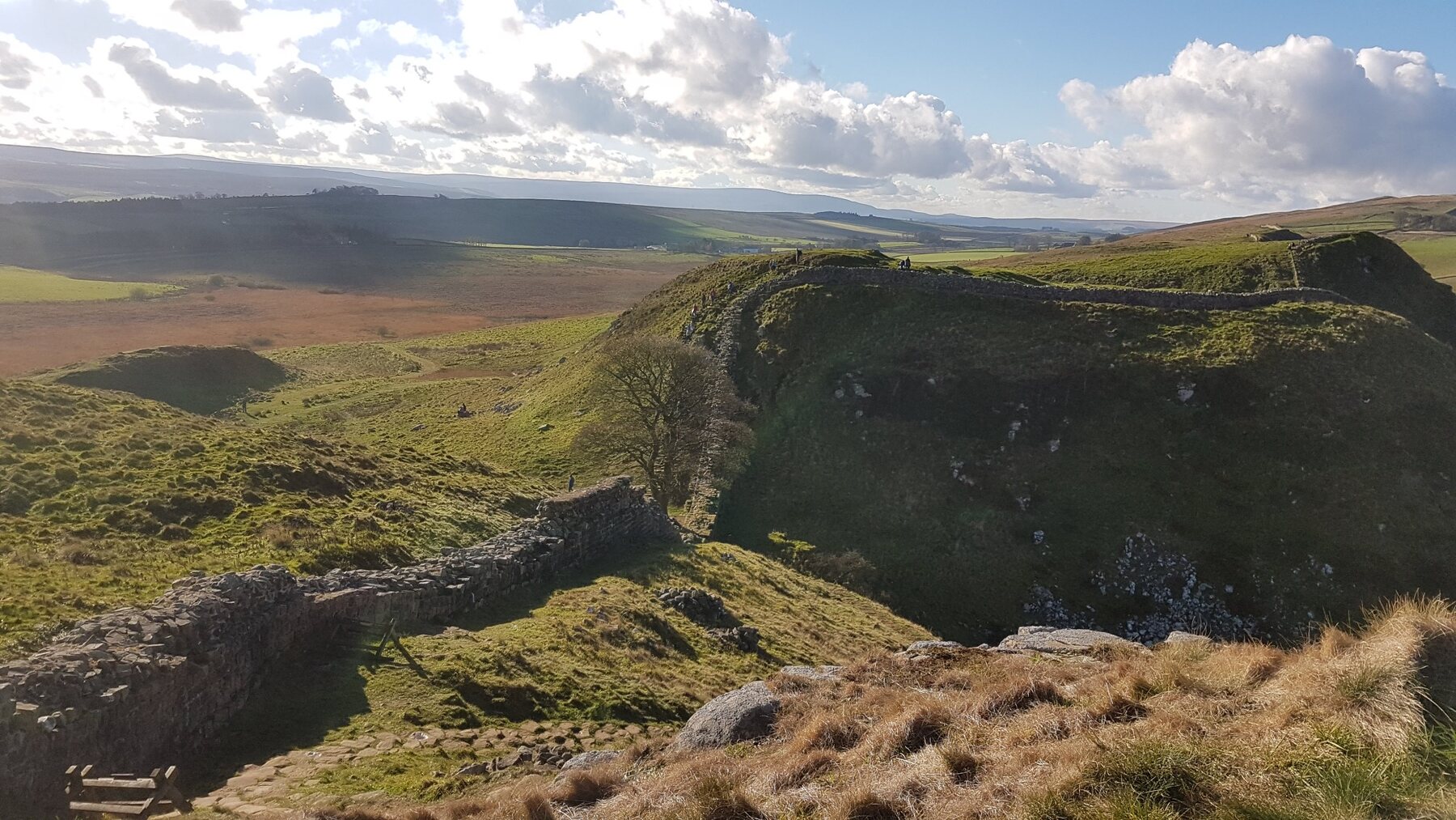
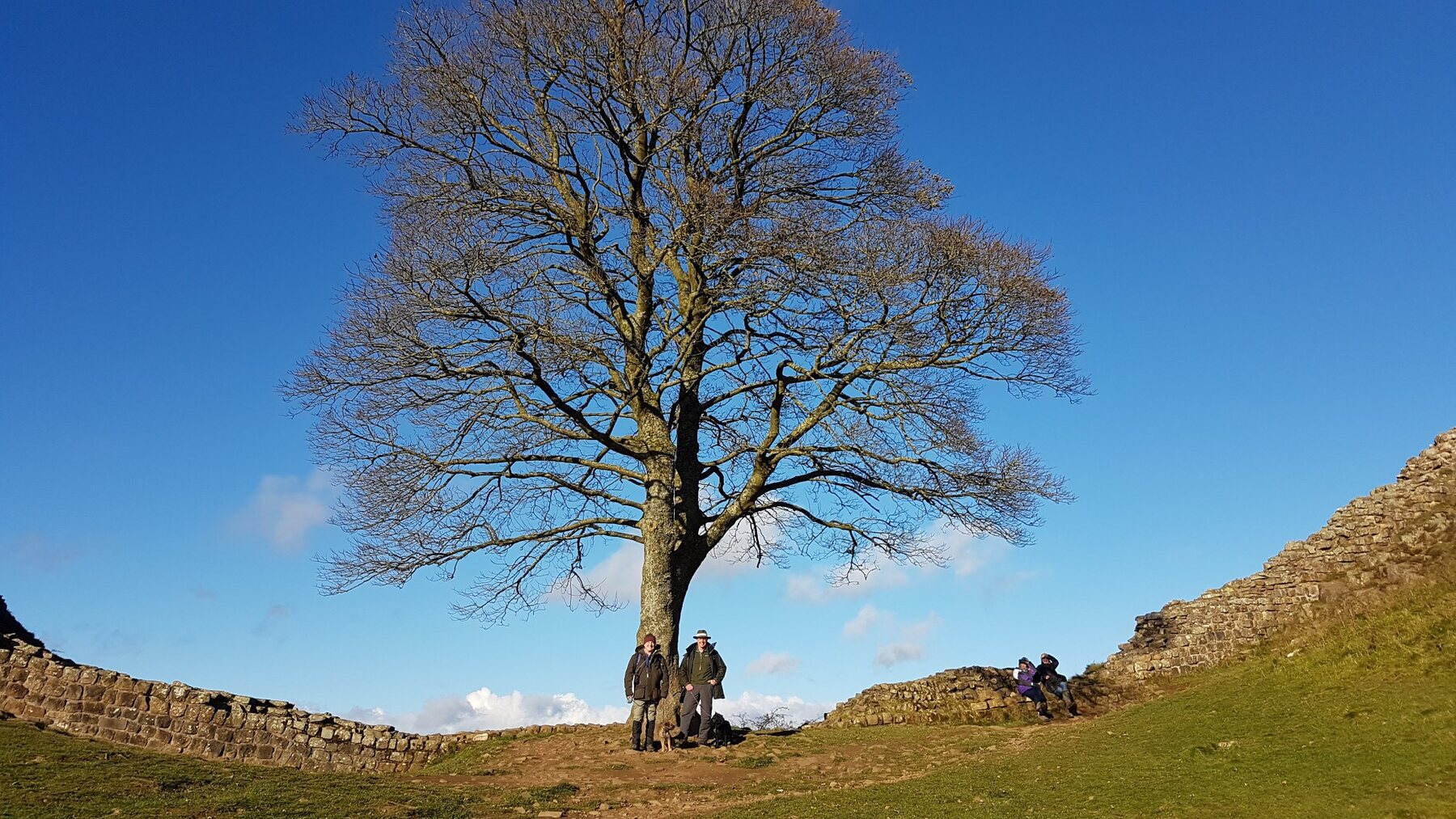
The photograph at Sycamore Gap records one of the Wall’s best-known views before the famous tree was felled in September 2023.
Continue exploring
Further information
Teachers and families can continue with the English Heritage guide to Hadrian’s Wall, the UNESCO Frontiers of the Roman Empire entry and the Vindolanda Trust.
Bring the evidence into your classroom
Roman Workshop Day for Key Stage 2
Explore Roman Britain through artefacts, clothing, military equipment, stories and practical activities.